Eagle Run Road Connector
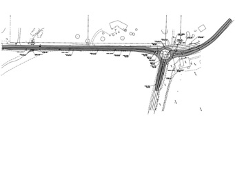
Eagle Run Road connector is an award winning project involving a one-mile roadway extension that required stream stabilization for two bridge spans, extensive environmental services, and design for one mile of roadway widening. The project won the engineering excellence Conceptor Award in 2020 for the work completed by Landmark’s staff who performed integrated science and engineering, with surveying services.
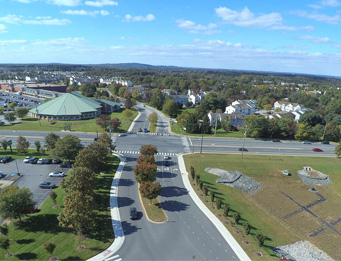
The original Eagle Run Road was a one-mile section starting at Route 273 and ending at a heavily wooded terrain with two major stream crossings. As part of a proposed private-sector redevelopment, the state Department of Transportation requested a one-mile roadway extension that would fulfill their long-desired, alternate grid-road connection from Route 273 to the Christiana Mall, parallel to I-95. A large public roadway project – fully private-sector funded – is not the norm for Delaware!
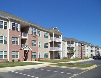
As part of the proposed redevelopment of “The Promenade at Christiana,” a former industrial and commercial site on 45.7 acres adjacent to I-95, the new one mile roadway extension will serve not only future development of the site, but as a grid road to redirect traffic onto local arteries in the Churchmans Crossing and Christiana Mall area. View Promenade at Christiana profile for more information.
Streambank Stabilization
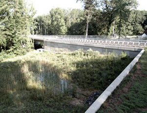
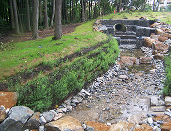
The new Eagle Run Road extension required stream stabilization for the design of 110-foot and 78-foot spans crossing the Eagle Run tributary and an unnamed tributary to Eagle Run to bridge the multimodal connection serving residents and employees traveling by foot, bike or car. The streambank stabilization required Landmark staff to perform hydraulic and hydrologic studies necessary to provide scour analysis and design for the stream stabilization and also provided the coordination of bridge design with the developer’s bridge consultant. The Eagle Run Road extension would also involve creating right-of-way plans with several different property owners.
Environmental Services
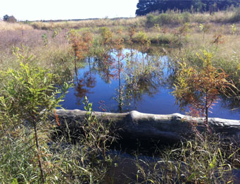
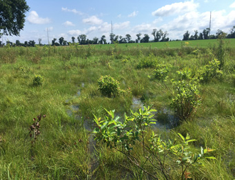
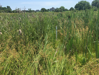
Landmark’s scientists performed wetland and forest stand delineations; rare, threatened, and endangered species coordination; state and federal wetland permitting; and coordination with regulatory agencies. Landmark provided extensive coordination with local, state, and federal regulatory agencies as well as the submission of state and federal wetland permit application packages. The Delaware Department of Natural Resources & Environmental Control (DNREC) Wetlands Section issued a Subaqueous Lands Permit and the U.S. Army Corps of Engineers (USACE) granted a Nationwide Permit 39 for this project. View Wetland Mitigation profile for more information.
Scope of Work
Landmark’s scope of work provided for this project included: topographic surveys; accurate delineations of existing environmental features, rare, threatened and endangered species coordination, and wetland permitting and coordination; planning, civil engineering, site design; roadway design with two bridges; coordination of bridge design with developer’s bridge consultant; design of entrance plan and pedestrian sidewalk improvements to address adverse grading conditions; scour analysis and design for streambank stabilization; and agency coordination and processing. Site plan approval was received for Major Record Land Development Plan.
